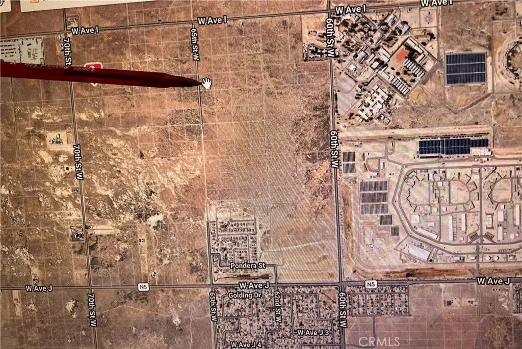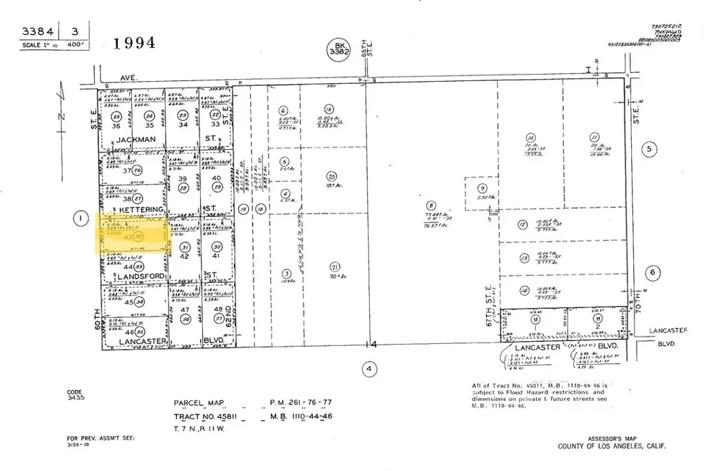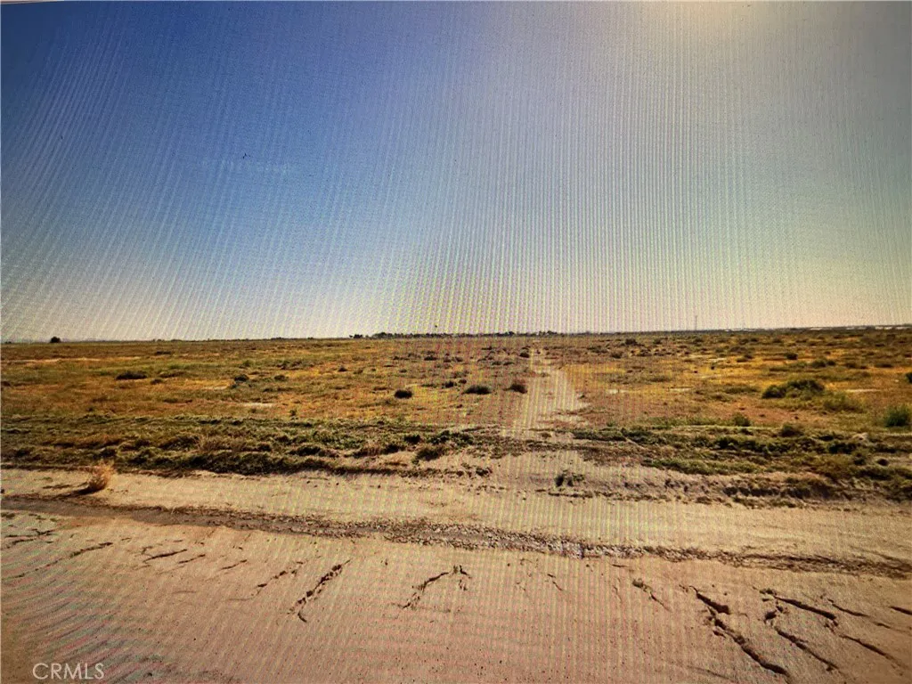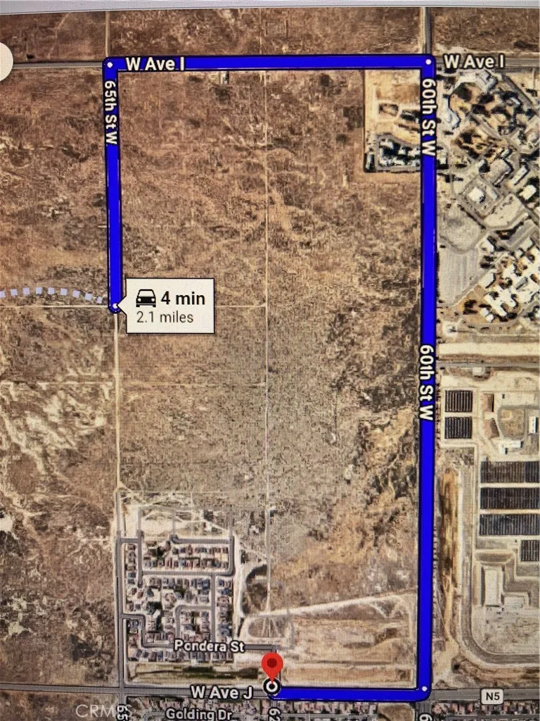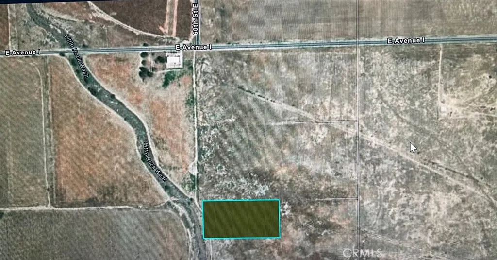

5.19 acres rectangular-shaped flat land (Latitude & Longitude coordinates: 34.698482,-118.249758), close to a few tracts of single family residences, appears to have services nearby. Just 4-minute to Highway 14, 3-min to bus station, 8-min to Walmart, 25-min to Palmdale Regional Airport/Blackbird Airpark, close proximity to shopping, schools, and services. Zoned LCA21 (Limited Commercial Agricultural) is an unincorporated Los Angeles County land-use designation. It is a highly flexible zoning category that accommodates a blend of rural residential living, agricultural pursuits, and light commercial activities. Excellent opportunity for the developer/ investor in this growing community of Lancaster.